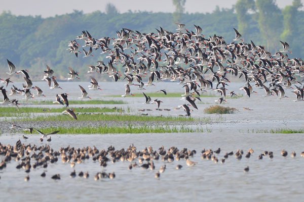
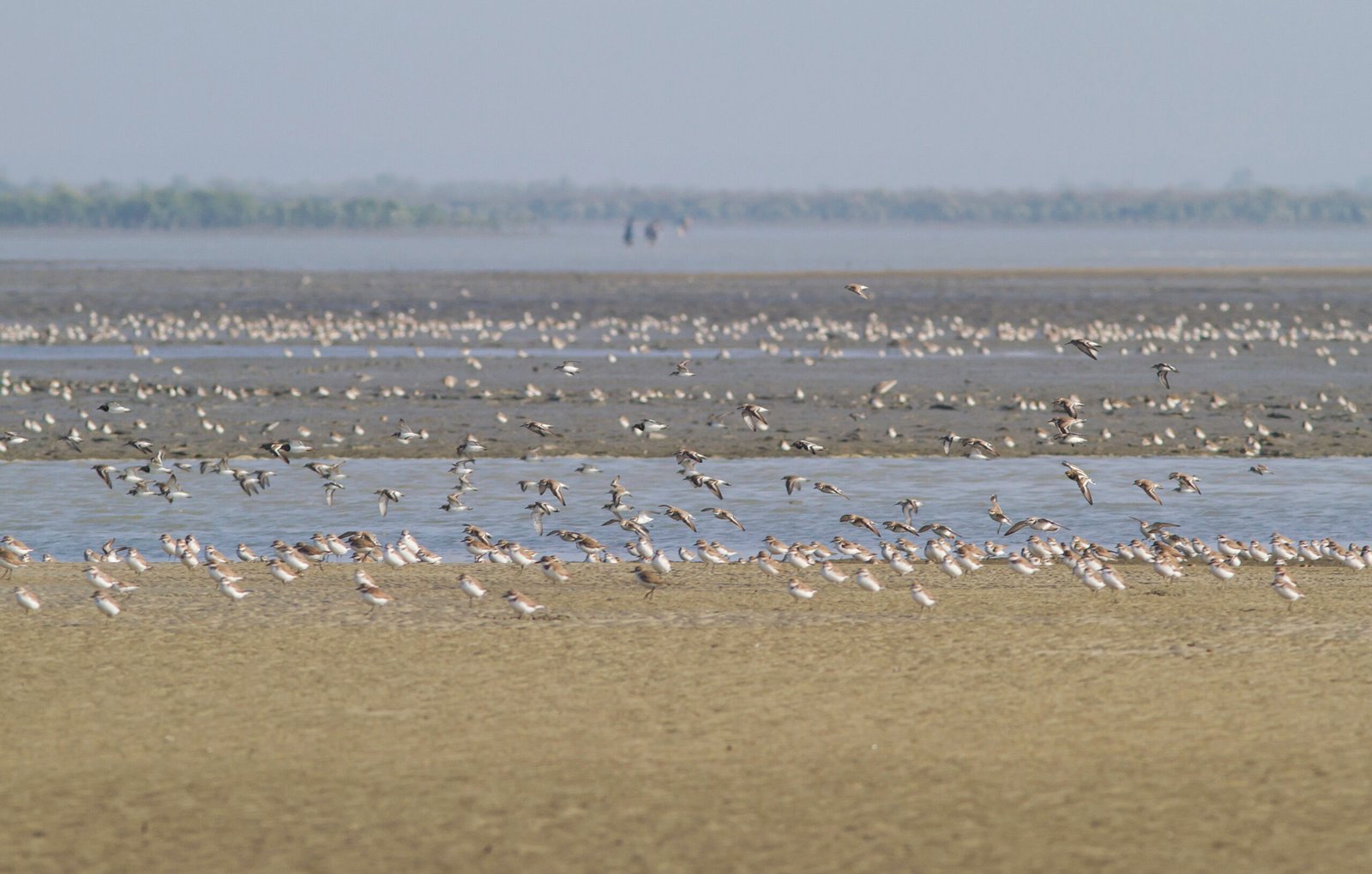
Bangladesh’s 710 km-long coastline, shaped by the Ganges–Brahmaputra–Meghna delta, supports vast intertidal mudflats, newly emerged islands, and estuarine habitats that are critical for migratory waterbirds, including many species of global conservation concern. Situated at the junction of major Asian flyways, the coast attracts thousands of waterbirds each winter, yet many important sites remain undiscovered or poorly documented due to the coastline’s highly dynamic nature.
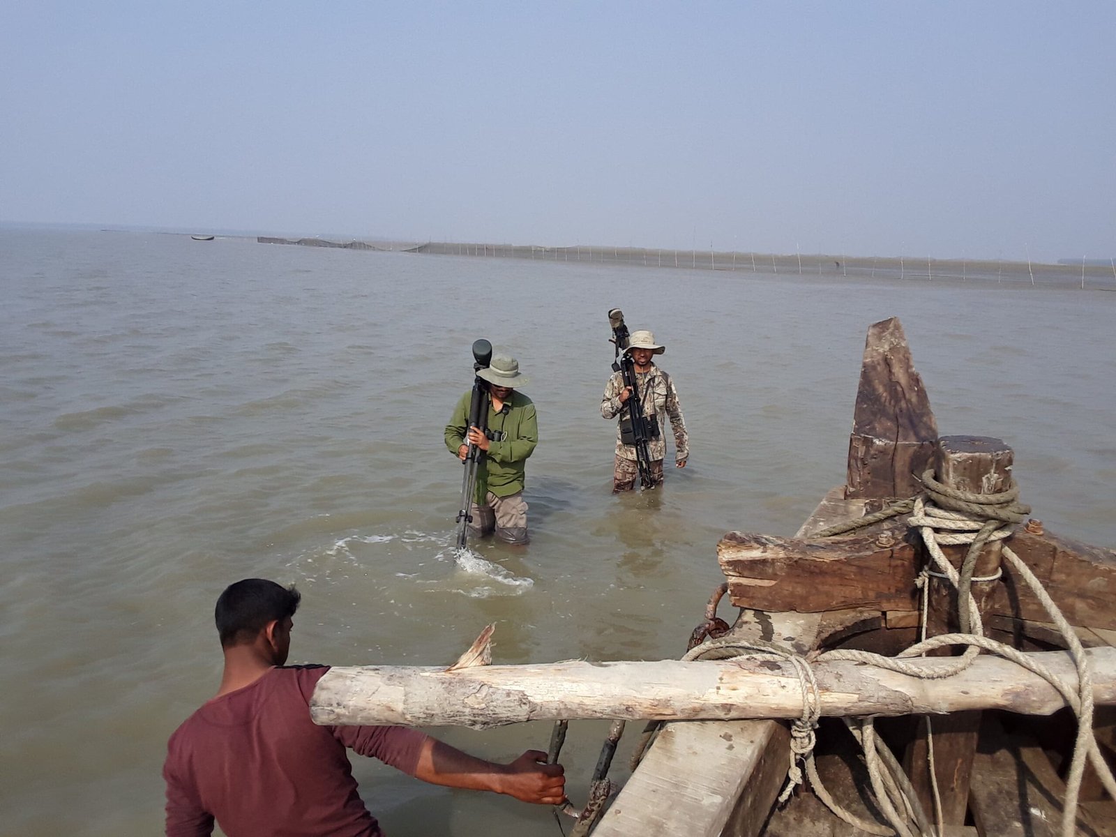
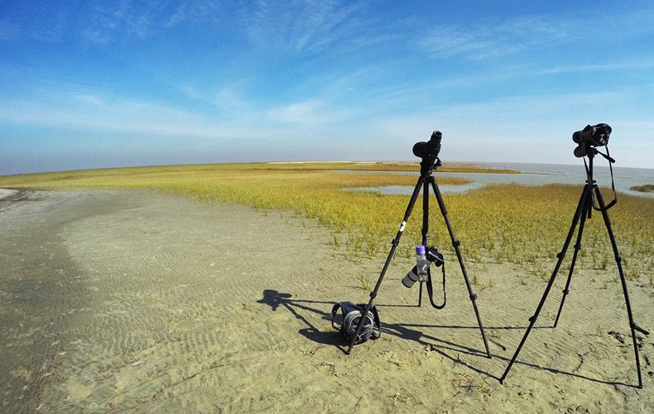
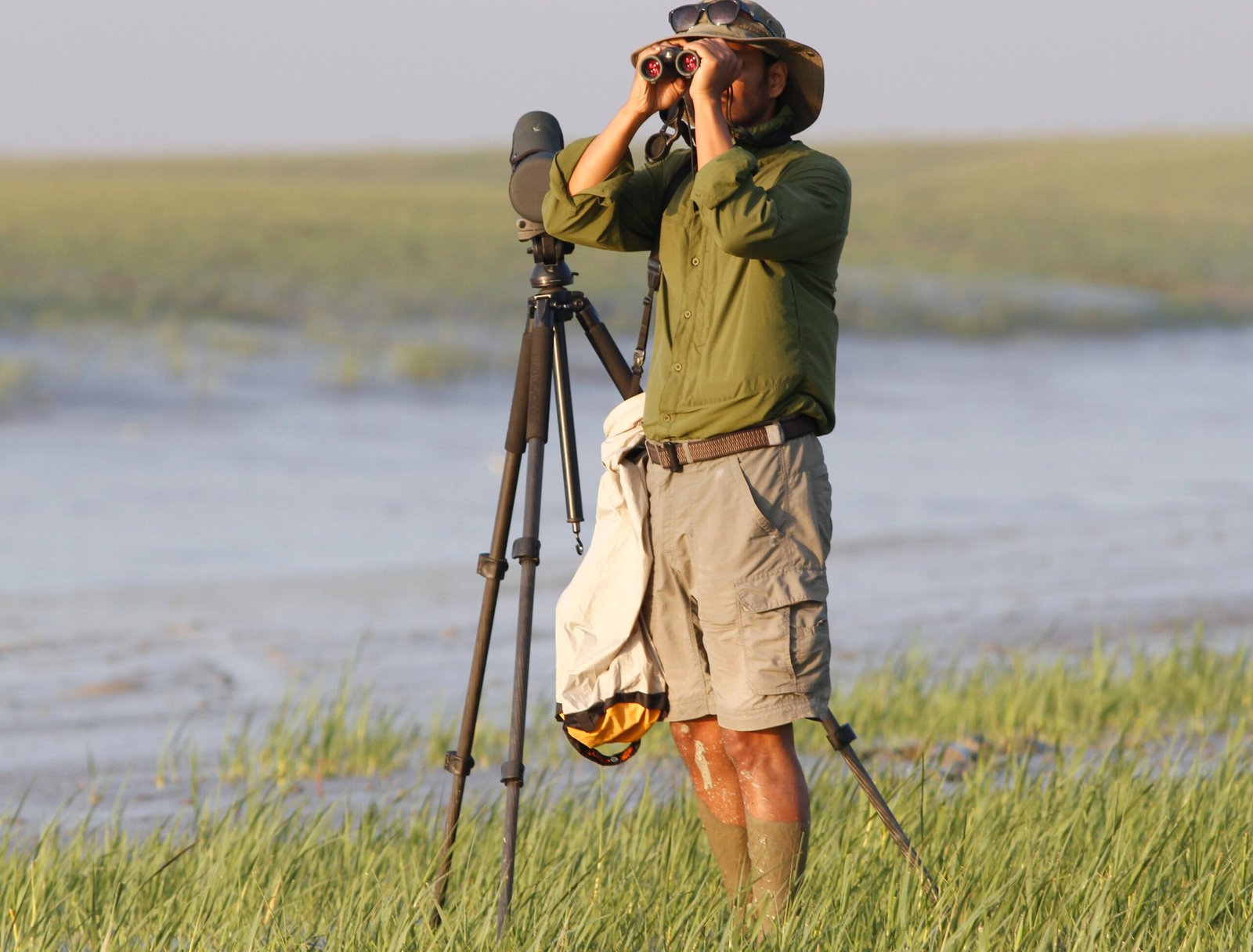
The Identifying Key Sites project, led by the SCOPE Foundation, aims to address this gap by conducting targeted surveys across the entire coastline of Bangladesh, with a focus on newly formed and previously unsurveyed habitats. Using remote sensing tools such as Sentinel-2 imagery and Google Earth to guide survey planning, the project identifies areas likely to support high concentrations of waterbirds and assesses species composition, site importance, and threats in the field.
By generating robust scientific evidence on site importance, the project supports site-based conservation action, informs national and flyway-level planning, and provides the basis for proposing protected areas, Flyway Network Sites, and Ramsar Sites, helping safeguard Bangladesh’s most important coastal habitats before they are lost to development or climate-driven change.
The problem
– many important coastal sites for migratory waterbirds in Bangladesh remain unknown, unmapped or undocumented
– conservation planning maybe biased toward a few well-known sites, leaving large stretches of coastline unassessed
– lack of site-level evidence limits the ability to prioritise areas for protection and management
The cause
– historical surveys have been spatially limited, focusing on accessible or previously known locations
– the rapidly changing coastline, with frequent formation of new islands and mudflats, outpaces conventional site inventories
– absence of a coast-wide, discovery-focused survey approach guided by remote sensing
The solution
– carry out coast-wide, exploratory surveys to locate and document previously unknown and under-surveyed waterbird sites
– use remote sensing to identify high-potential habitats before field surveys
– generate site-level evidence to prioritise key areas and support proposals for protected areas, Flyway Network Sites and Ramsar designation
Project Goal
Identify and document previously unknown and under-surveyed coastal sites of importance for migratory waterbirds in Bangladesh to inform conservation action.
Project Objectives
– locate and map new and emerging coastal habitats used by migratory waterbirds across the entire coastline
– assess site importance and key threats, with attention to globally threatened waterbird species
– provide robust site-level evidence to support prioritisation, protection and management of important coastal wetlands
Activities
– analyse remote sensing data to identify newly emerged, dynamic and previously unsurveyed coastal habitats
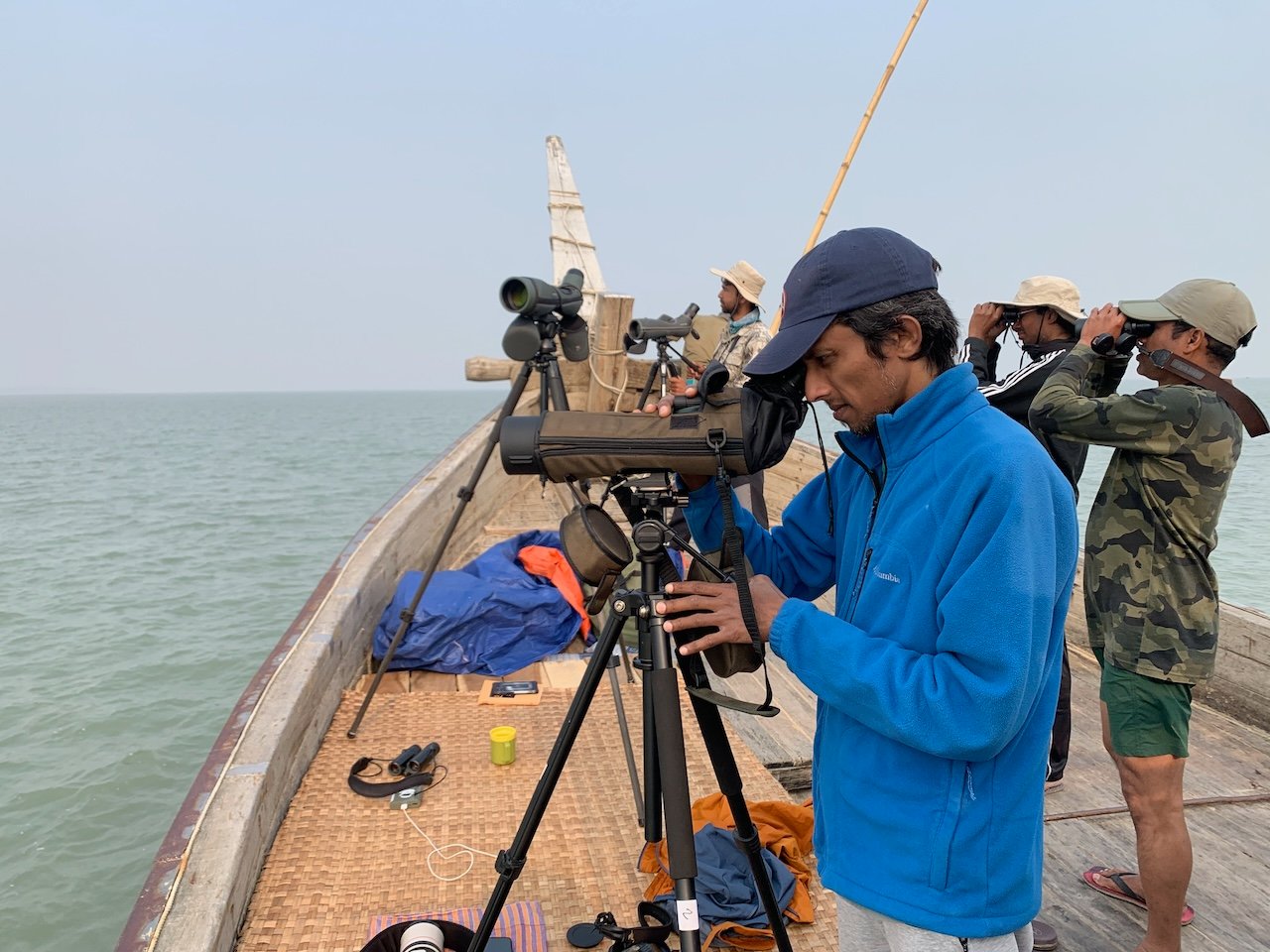
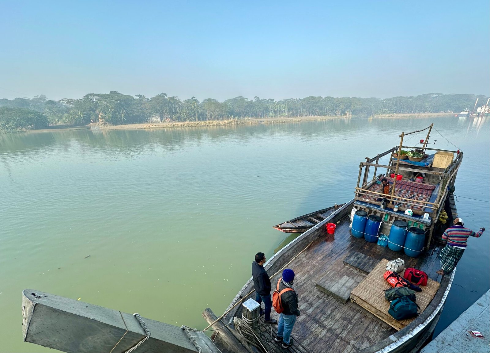
– conduct targeted field surveys across the full coastline of Bangladesh, prioritising high-potential sites identified through count data and spatial analysis
– document waterbird species composition, abundance and site use, with particular attention to globally threatened species
– assess site-specific threats including disturbance, hunting and habitat alteration
– compile and publish survey findings to inform site prioritisation and protection
Outcomes
Ongoing targeted surveys across Bangladesh’s coastline have led to the continuous discovery and documentation of previously under-recognised and unknown coastal sites of importance for migratory waterbirds. Areas such as the Sandwip region and Banshkhali coast have been identified as major shorebird hotspots, supporting large concentrations of waterbirds, including globally threatened species such as the Critically Endangered Spoon-billed Sandpiper, Endangered Nordmann’s Greenshank and Great Knot.
The evidence generated through this work has strengthened site-level recognition and prioritisation, enabling a sustained science-to-policy pathway. Survey results are regularly used to engage government agencies and conservation practitioners, supporting ongoing proposals for site protection including Flyway Network Site and Other Effective area-based Conservation Measures (OECMs) nominations. Together, these outcomes are improving our capacity to proactively identify and safeguard key coastal wetlands before they are lost to development.


")
